Search results
Showing 9377 results
Filter by
-
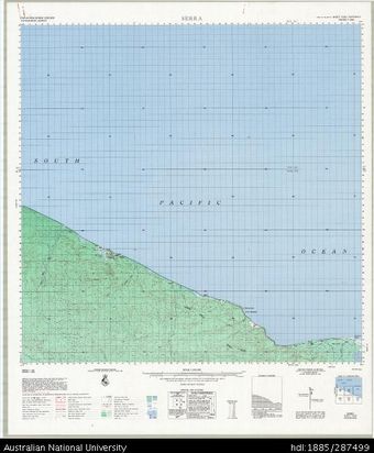
 Papua New Guinea, Sandaun Province, Serra, Series T683, Sheet 7292, 1:100 000, 1969Australian National University LibraryMap Papua New Guinea 1969 to 2023
 -
Australian aeronautical map (Sheet J7)National Library of AustraliaMap Papua New Guinea
-
Australian aeronautical map: Barrow Creek (Sheet F6)National Library of AustraliaMap Papua New Guinea
-
Australian aeronautical map: Hall's Creek (Sheet E5)National Library of AustraliaMap Papua New Guinea
-
Australian aeronautical map: Cloncurry (Sheet F7)National Library of AustraliaMap Papua New Guinea
-
Australian aeronautical map: Port Lincoln (Sheet K6)National Library of AustraliaMap Papua New Guinea
-
Australian aeronautical map: Brisbane (Sheet H9)National Library of AustraliaMap Papua New Guinea
-
Australian aeronautical map (Sheet J9)National Library of AustraliaMap Papua New Guinea
-
Australian aeronautical map: Hobart (Sheet M8)National Library of AustraliaMap Papua New Guinea
-
Australian aeronautical map (Sheet C6)National Library of AustraliaMap Papua New Guinea
-
Australian aeronautical map (Sheet B9)National Library of AustraliaMap Papua New Guinea
-
Australian aeronautical map (Sheet B7)National Library of AustraliaMap Papua New Guinea
Results per page
Welcome and warm Pasifik greetings
The information on this site has been gathered from our content partners.
The names, terms, and labels that we present on the site may contain images or voices of deceased persons and may also reflect the bias, norms, and perspective of the period of time in which they were created. We accept that these may not be appropriate today.
If you have any concerns or questions about an item, please contact us.