Search results
Showing 9378 results
Filter by
-
 Solomon Islands, New Georgia & Adjacent Islands, Sheet: 581 West, 1949, 1:120 000Australian National University LibraryMap 1949 to 2018 Online
 -
 Solomon Islands, Russell & Nggela Groups, Sheet: 585 West, 1950, 1:120 000Australian National University LibraryMap 1950 to 2018 Online
 -
 Solomon Islands, Sketch of the Duff's Groupe, Difcovered September 25, 1797, 1799Australian National University LibraryMap 1799 to 2019 Online
 -
 Solomon Islands INDEX, 1:40 000, Series: Sketch (D.C.S. (Misc) 224A), 1955Australian National University LibraryMap 1955 to 2019 Online
 -
 Solomon Islands, Fauro Island, 1 Inch Series, Sheet 3315, 1945, 1:63 360Australian National University LibraryMap 1945 to 2019 Online
 -
 Solomon Islands, Florida Group, West Sheet 224A, 1955, 1:40 000Australian National University LibraryMap 1955 to 2018 Online
 -
 Solomon Islands, Guadalcanal, Honiara, Sheet 967b, 1968, 1:10 000Australian National University LibraryMap 1968 to 2018 Online
 -
 Solomon Islands, Savo Island, 1965, 1:25 000Australian National University LibraryMap 1965 to 2018 Online
 -
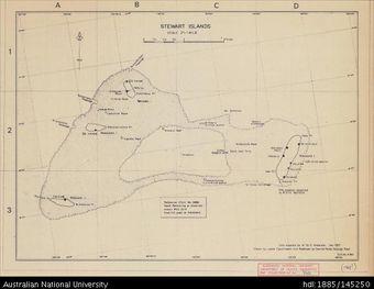 Solomon Islands, Stewart Islands, 1968?, 1:31 680Australian National University LibraryMap 1968 to 2018 Online
 -
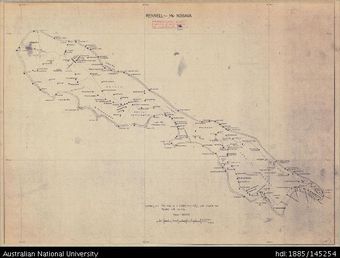 Solomon Islands, Rennell - Mu Nggava, 1968?, 1:100 000Australian National University LibraryMap 1968 to 2018 Online
 -
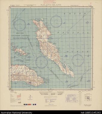 Solomon Islands (Melanesia), Malaita Island, Series: AMS X401, Sheet SC 57-3, 1944, 1:500 000Australian National University LibraryMap Melanesia 1944 to 2018 Online
 -
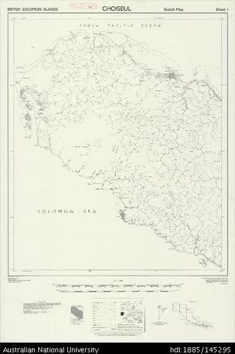 Solomon Islands, British Solomon Islands, Choiseul, Series: X715 (Sketch), Sheet 1, 1959, 1:50 000Australian National University LibraryMap 1959 to 2019 Online
Results per page
Welcome and warm Pasifik greetings
The information on this site has been gathered from our content partners.
The names, terms, and labels that we present on the site may contain images or voices of deceased persons and may also reflect the bias, norms, and perspective of the period of time in which they were created. We accept that these may not be appropriate today.
If you have any concerns or questions about an item, please contact us.