Search results
Showing 9379 results
Filter by
-

 Papua New Guinea, Chambri SW, Survey Index 6, 1:50 000, 1975Australian National University LibraryMap Papua New Guinea 1975 to 2022 Online
 -
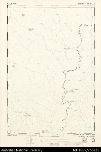 Papua New Guinea, Paup SW, Survey Index 3, 1:50 000, 1974Australian National University LibraryMap Papua New Guinea 1974 to 2022 Online
 -
 Papua New Guinea, Masalaga SW, Survey Index 3, 1:50 000, 1978Australian National University LibraryMap Papua New Guinea 1978 to 2022 Online
 -
 Papua New Guinea, Maimai SE, Survey Index 2, 1:50 000, 1979Australian National University LibraryMap Papua New Guinea 1979 to 2022 Online
 -
 Papua New Guinea, Maimai NE, Survey Index 2, 1:50 000, 1979Australian National University LibraryMap Papua New Guinea 1979 to 2022 Online
 -
 Papua New Guinea, Lumi NE, Survey Index 2, 1:50 000, 1975Australian National University LibraryMap Papua New Guinea 1975 to 2022 Online
 -
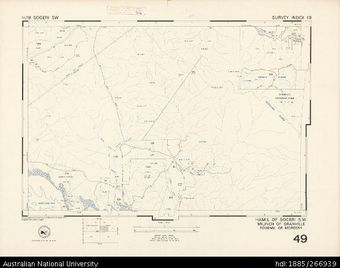 Papua New Guinea, Hamil of Sogeri SW, Survey Index 49, 1:25 000, 1974Australian National University LibraryMap Papua New Guinea 1974 to 2022 Online
 -
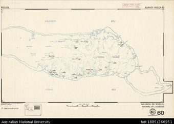 Papua New Guinea, Rossel, Survey Index 60, 1:100 000, 1973Australian National University LibraryMap Papua New Guinea 1973 to 2022 Online
 -
 Papua New Guinea, Hamil of Biangai SE, Survey Index 38, 1:25 000, 1977Australian National University LibraryMap Papua New Guinea 1977 to 2022
 -
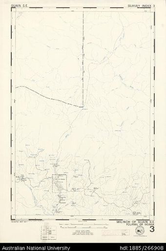 Papua New Guinea, Suain SE, Survey Index 3, 1:50 000, 1974Australian National University LibraryMap Papua New Guinea 1974 to 2022 Online
 -
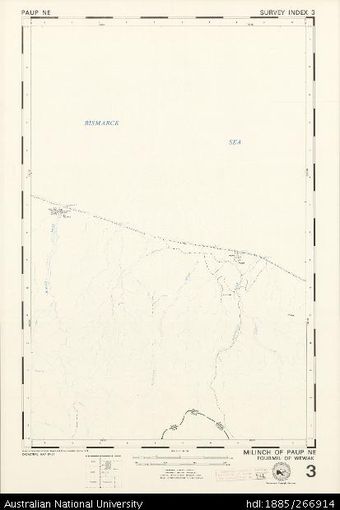 Papua New Guinea, Paup NE, Survey Index 3, 1:50 000, 1974Australian National University LibraryMap Papua New Guinea 1974 to 2022 Online
 -
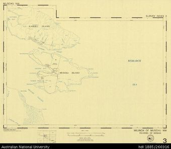 Papua New Guinea, Muschu NW, Survey Index 3, 1:50 000, 1973Australian National University LibraryMap Papua New Guinea 1973 to 2022 Online
Results per page
Welcome and warm Pasifik greetings
The information on this site has been gathered from our content partners.
The names, terms, and labels that we present on the site may contain images or voices of deceased persons and may also reflect the bias, norms, and perspective of the period of time in which they were created. We accept that these may not be appropriate today.
If you have any concerns or questions about an item, please contact us.