Search results
Showing 9379 results
Filter by
-
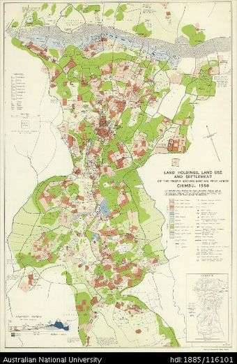
 Papua New Guinea, Chimbu, Land Holdings, Land Use and Settlement of the People Around Mintima Rest House, 1959, 1:31 680Australian National University LibraryMap Papua New Guinea 1959 to 2017 Online
 -
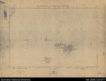 Papua New Guinea, Fourmil of Witu Islands, Fourmil series, Sheet 17, 1956, 1:253 440Australian National University LibraryMap Papua New Guinea 1956 to 2017 Online
 -
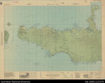 Papua New Guinea, Western New Britain, Provisional map, 1943, 1:253 440Australian National University LibraryMap Papua New Guinea 1943 to 2017 Online
 -
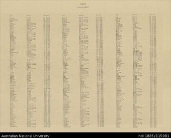 Papua New Guinea, New Ireland, Kavieng (Index), 4 Mile Strategic series, 1943Australian National University LibraryMap Papua New Guinea 1943 to 2017 Online
 -
 Papua New Guinea, Southern New Guinea, Markham, 4 Mile Strategic series, Sheet 2033, 1944, 1:253 440Australian National University LibraryMap Papua New Guinea 1944 to 2017 Online
 -
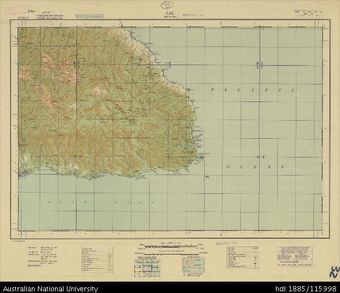 Papua New Guinea, Southern New Guinea, Lae, 4 Mile Strategic series, Sheet 2034, 1944, 1:253 440Australian National University LibraryMap Papua New Guinea 1944 to 2017 Online
 -
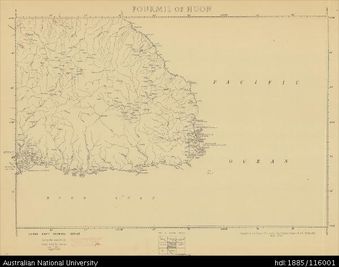 Papua New Guinea, Fourmil of Huon, Fourmil series, Sheet 32, 1956, 1:253 440Australian National University LibraryMap Papua New Guinea 1956 to 2017 Online
 -
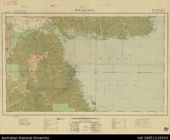 Papua New Guinea, Southern New Guinea, Huon Gulf Special, 4 Mile Strategic series, Sheet 2022, 1943, 1:253 440Australian National University LibraryMap Papua New Guinea 1943 to 2017 Online
 -
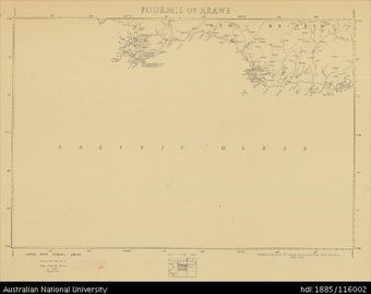 Papua New Guinea, New Britain, Fourmil of Arawe, Fourmil series, Sheet 33, 1956, 1:253 440Australian National University LibraryMap Papua New Guinea 1956 to 2017 Online
 -
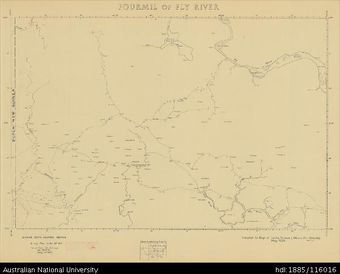 Papua New Guinea, Fourmil of Fly River, Fourmil series, Sheet 40, 1956, 1:253 440Australian National University LibraryMap Papua New Guinea 1956 to 2017
 -
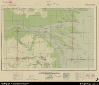 Papua New Guinea, Southern New Guinea, Kiwai, 4 Mile Strategic series, 1942, 1:253 440Australian National University LibraryMap Papua New Guinea 1942 to 2017 Online
 -
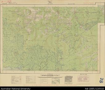 Papua New Guinea, Southern New Guinea, Wau, 4 Mile Strategic series, 1942, 1:253 440Australian National University LibraryMap Papua New Guinea 1942 to 2017 Online
Results per page
Welcome and warm Pasifik greetings
The information on this site has been gathered from our content partners.
The names, terms, and labels that we present on the site may contain images or voices of deceased persons and may also reflect the bias, norms, and perspective of the period of time in which they were created. We accept that these may not be appropriate today.
If you have any concerns or questions about an item, please contact us.