Search results
Showing 9377 results
Filter by
-
 Pukapuka Island / mapped in 1975 by Photogrammetric Branch, H.O. Dept. of Lands & SurveyNational Library of AustraliaMap Cook Islands Online
 -
Aitutaki Island / mapped in 1975 by Photogrammetric Branch, H.O. Dept. of Lands & SurveyNational Library of AustraliaMap Cook Islands
-
Tongareva, Penrhyn Atoll / mapped in 1975 by Photogrammetric Branch, H.O. Dept. of Lands & SurveyNational Library of AustraliaMap Cook Islands Online
-
Gazelle Peninsula / compiled by Laurie & Montgomerie, Consulting Engineers, for Department of Lands, Surveys, & Mines, Konedobu, PapuaNational Library of AustraliaMap Papua New Guinea
-
A voyage towards the South Pole, and round the world : performed in His Majesty's ships the Resolution and Adventure, in the years 1772, 1773, 1774, and 1775 / written by James Cook, Commander of the Resolution : in which is included Captain Furneaux's narrative of his proceedings in the Adventure during the separation of the ships. In two volumes. Illustrated with maps and charts, and a variety of portraits of persons and views places drawn during the Voyage by Mr. Hodges and engraved by the most eminent Masters.National Library of AustraliaMap Multiple Locations
-
 Papua New Guinea, Hela Provinces, Koroba, Series T683, Sheet 7486, 1:100 000, 1979Australian National University LibraryMap Papua New Guinea 1982 to 2023
 -
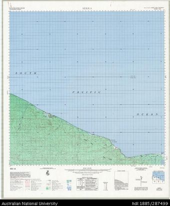 Papua New Guinea, Sandaun Province, Serra, Series T683, Sheet 7292, 1:100 000, 1969Australian National University LibraryMap Papua New Guinea 1969 to 2023
 -
Marianas Islands, 1:250,000: Uracas Island (Sheet 1)National Library of AustraliaMap Mariana Islands
-
Marianas Islands, 1:250,000: Asuncion Island (Sheet 3)National Library of AustraliaMap Mariana Islands
-
Marianas Islands, 1:250,000: Maug Islands (Sheet 2)National Library of AustraliaMap Mariana Islands
-
Marianas Islands, 1:250,000: Uracas Island (Sheet 1)National Library of AustraliaMap Mariana Islands
Results per page
Welcome and warm Pasifik greetings
The information on this site has been gathered from our content partners.
The names, terms, and labels that we present on the site may contain images or voices of deceased persons and may also reflect the bias, norms, and perspective of the period of time in which they were created. We accept that these may not be appropriate today.
If you have any concerns or questions about an item, please contact us.