Search results
Showing 9377 results
Filter by
-
 Photomap, Suva Peninsula / prepared by the Department of Lands, Mines and Surveys, SuvaNational Library of AustraliaMap Fiji Online
 -
[Lake Trist, Papua New Guinea]National Library of AustraliaMap Papua New Guinea 1950 to 1999 Online
-
Photomap, northern portion, New Guinea border / photomap prepared by the Division of National Mapping, Canberra A.C.T., 13th August 1962National Library of AustraliaMap Papua New Guinea Online
-
New Guinea border : Alice & Birim Rivers area / Division of National Mapping, Department of National DevelopmentNational Library of AustraliaMap Papua New Guinea Online
-
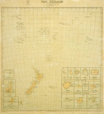 The colony of New ZealandAuckland LibrariesMap Cook Islands
 -
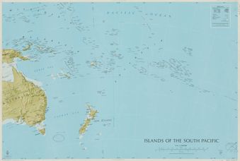 Islands of the South PacificAuckland LibrariesMap
 -
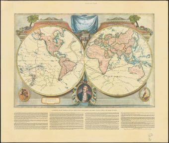
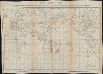 A general chart exhibiting the discoveries made by Captn. James Cook in this and his two preceeding voyages, with the tracks of the ships under his command.Auckland LibrariesMap
 -
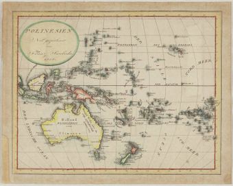 Polinesien: neu gezeichnet von Franz SwobodaAuckland LibrariesMap Hawaiʻi
 -
 A new map of the world with Captain Cook's tracks, his discoveries and those of the other circumnavigatorsAuckland LibrariesMap
 -
Special map, northeast New Guinea (Wewak Drome , front)National Library of AustraliaMap Papua New Guinea
-
Special map, northeast New Guinea (Mt Malangis , front)National Library of AustraliaMap Papua New Guinea
-
Special map, northeast New Guinea (Mushu Plantation , back)National Library of AustraliaMap Papua New Guinea
Results per page
Welcome and warm Pasifik greetings
The information on this site has been gathered from our content partners.
The names, terms, and labels that we present on the site may contain images or voices of deceased persons and may also reflect the bias, norms, and perspective of the period of time in which they were created. We accept that these may not be appropriate today.
If you have any concerns or questions about an item, please contact us.