Search results
Showing 9377 results
Filter by
-
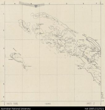
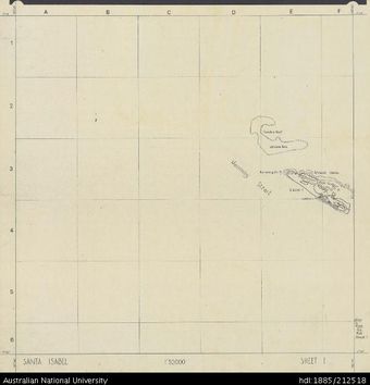
 Solomon Islands, Sketch Map of Santa Isabel, Sheet 2, 1968, 1:50 000Australian National University LibraryMap 1968 to 2020 Online
 -
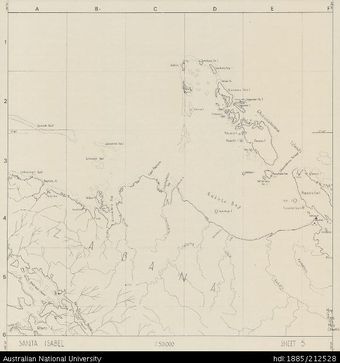 Solomon Islands, Sketch Map of Santa Isabel, Sheet 5, 1968, 1:50 000Australian National University LibraryMap 1968 to 2020 Online
 -
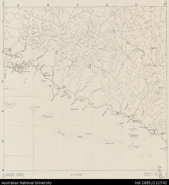 Solomon Islands, Sketch Map of Santa Isabel, Sheet 12, 1968, 1:50 000Australian National University LibraryMap 1968 to 2020 Online
 -
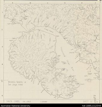 Solomon Islands, Sketch Map of Santa Isabel, Sheet 14, 1968, 1:50 000Australian National University LibraryMap 1968 to 2020 Online
 -
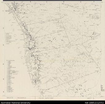 Solomon Islands, Malaita, Langalanga, Sketch, Sheet 5, 1967, 1:50 000Australian National University LibraryMap 1967 to 2020 Online
 -
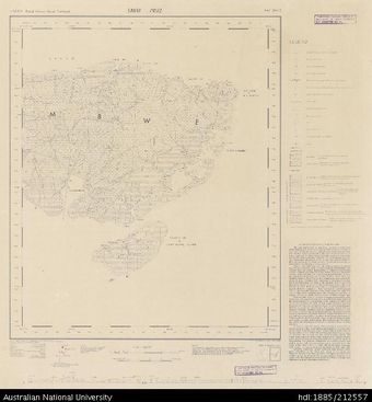 Solomon Islands, British Solomon Islands Protectorate, Santa Cruz , East Sheet 2, 1969, 1:50 000Australian National University LibraryMap 1969 to 2020 Online
 -
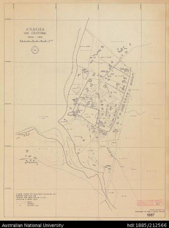 Solomon Islands, Kirakira, San Cristobal (Makira), Sheet 1687, 1969, 1:2 500Australian National University LibraryMap 1969 to 2020 Online
 -
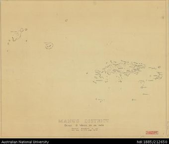 Papua New Guinea, Manus District, 1955, 1:506 880Australian National University LibraryMap Papua New Guinea 1955 to 2020
 -
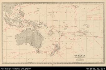 Oceania, Outline Map of Oceania showing Routes of Early Discoverers, 1888Australian National University LibraryMap Oceania 1888 to 2020 Online
 -
 PNG, Southern New Guinea, Uberi , Standard Series, 1943, 1:63 360Australian National University LibraryMap Papua New Guinea 1943 to 2020 Online
 -
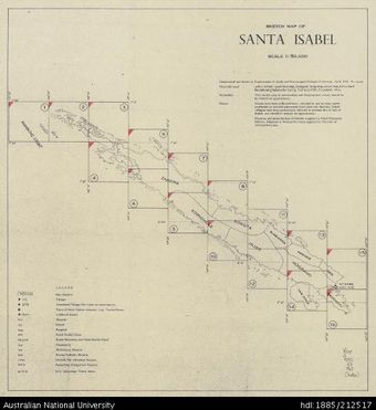 Solomon Islands, Sketch Map of Santa Isabel, INDEX, 1968, 1:50 000Australian National University LibraryMap 1968 to 2020 Online
 -
 Solomon Islands, Sketch Map of Santa Isabel, Sheet 1, 1968, 1:50 000Australian National University LibraryMap 1968 to 2020 Online
Results per page
Welcome and warm Pasifik greetings
The information on this site has been gathered from our content partners.
The names, terms, and labels that we present on the site may contain images or voices of deceased persons and may also reflect the bias, norms, and perspective of the period of time in which they were created. We accept that these may not be appropriate today.
If you have any concerns or questions about an item, please contact us.