Search results
Showing 9377 results
Filter by
-
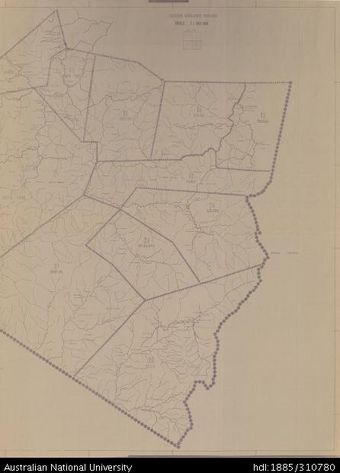
 Papua New Guinea, Eastern Highlands Province, Sheet 2 of 4, 1980, 1:100 000Australian National University LibraryMap Papua New Guinea 1980 to 2023
 -
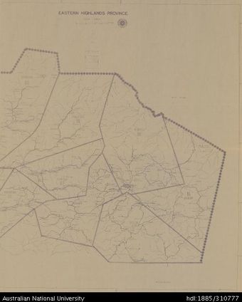
 Papua New Guinea, Eastern Highlands Province, Sheet 3 of 4, 1980, 1:100 000Australian National University LibraryMap Papua New Guinea 1980 to 2023
 -
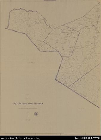
 Papua New Guinea, Eastern Highlands Province, Sheet 4 of 4, 1980, 1:100 000Australian National University LibraryMap Papua New Guinea 1980 to 2023
 -
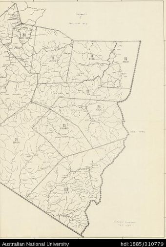 Papua New Guinea, Eastern Highlands Province, Sheet Prelim 4 of 4, 1980, 1:100 000Australian National University LibraryMap Papua New Guinea 1980 to 2023
 -
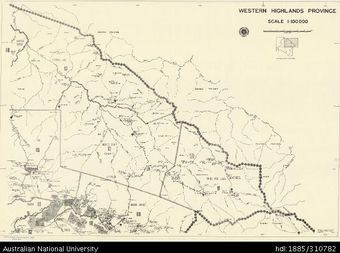 Papua New Guinea, Western Highlands Province, Sheet 2 of 3, 1979, 1:100 000Australian National University LibraryMap Papua New Guinea 1979 to 2023
 -
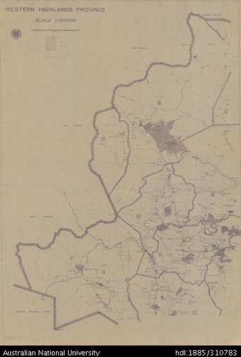 Papua New Guinea, Western Highlands Province, Sheet 1 of 3, 1979, 1:100 000Australian National University LibraryMap Papua New Guinea 1979 to 2023
 -
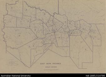
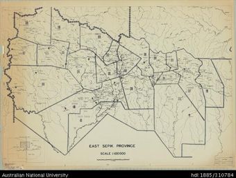 Papua New Guinea, East Sepik Province, 1979, 1:100 000Australian National University LibraryMap Papua New Guinea 1979 to 2023
 -
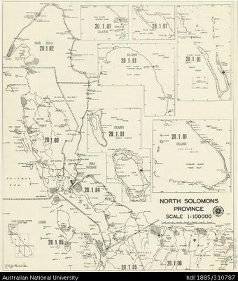 Papua New Guinea, North Solomons Province, 1979, 1:100 000Australian National University LibraryMap Papua New Guinea 1979 to 2023
 -
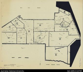
 Papua New Guinea, East Sepik Province, Sheet 3 of 3, 1979, 1:100 000Australian National University LibraryMap Papua New Guinea 1979 to 2023
 -
 Papua New Guinea, East Sepik Province, Sheet 1 of 3, 1979, 1:100 000Australian National University LibraryMap Papua New Guinea 1979 to 2023
 -
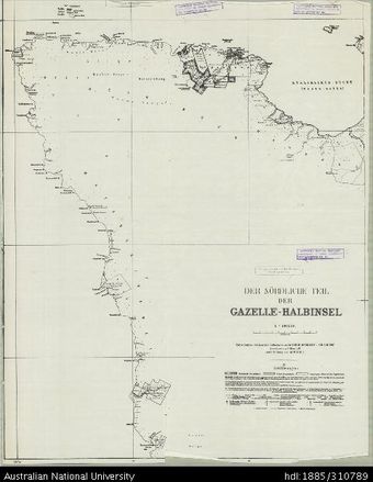
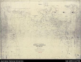 Papua New Guinea, New Britain, Northern Portion of Gazelle Peninsula, 1:100 000, 1948Australian National University LibraryMap Papua New Guinea 1948 to 2023
 -
 Papua New Guinea, East Sepik Province, West, Sheet 3 of 3, 1:100 000, 1979Australian National University LibraryMap Papua New Guinea
Results per page
Welcome and warm Pasifik greetings
The information on this site has been gathered from our content partners.
The names, terms, and labels that we present on the site may contain images or voices of deceased persons and may also reflect the bias, norms, and perspective of the period of time in which they were created. We accept that these may not be appropriate today.
If you have any concerns or questions about an item, please contact us.