Search results
Showing 9377 results
Filter by
-
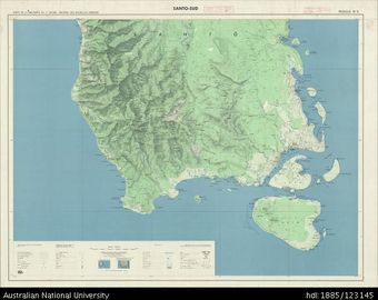
 Vanuatu, Espiritu Santo, Santo-Sud (South), Sheet 5, 1968, 1:100 000Australian National University LibraryMap Vanuatu 1968 to 2017 Online
 -
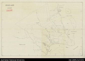 Vanuatu, Espiritu Santo, Sud Est Santo (South-east), 1:40 000Australian National University LibraryMap Vanuatu Online
 -
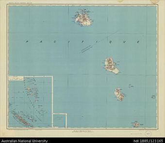 Vanuatu, Archepel des Nouvelles Hebrides, Sheet 2, 1949, 1:500 000Australian National University LibraryMap Vanuatu 1949 to 2017 Online
 -
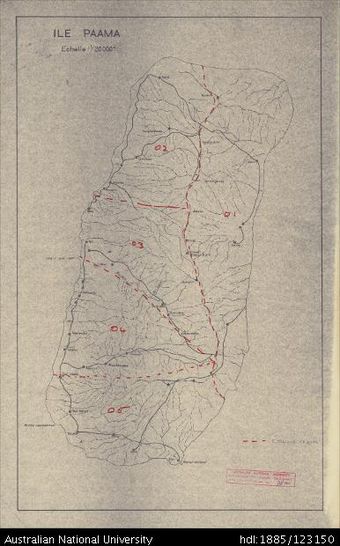 Vanuatu, Paama, Ile Paama, 1964, 1:20 000Australian National University LibraryMap Vanuatu 1964 to 2017 Online
 -
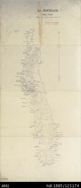 Vanuatu, Pentecost, Ile Pentecote, 1:80 000Australian National University LibraryMap Vanuatu Online
 -
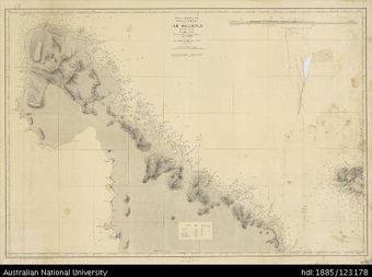 Vanuatu, Ile Malekula (North), Admiralty Chart, Sheet 4873, 1905Australian National University LibraryMap Vanuatu 1905 to 2017 Online
 -
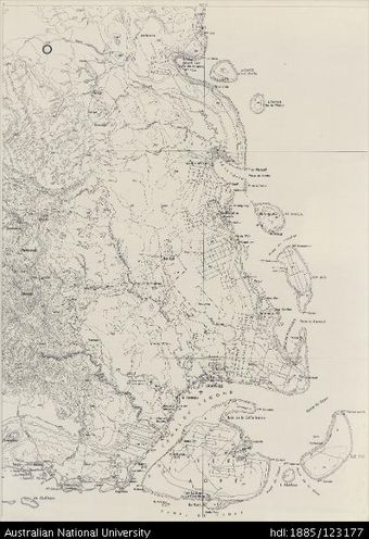 Vanuatu, Espiritu Santo, Santo-Sud (South), Sheet 3Australian National University LibraryMap Vanuatu Online
 -
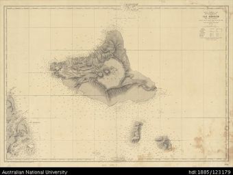 Vanuatu, Ile Ambrym, Pau Uma - Lopevi, Admiralty Chart, Sheet 4950, 1897Australian National University LibraryMap Vanuatu 1897 to 2017 Online
 -
 Vanuatu-New Caledonia, New Hebrides Islands and New Caledonia, Admiralty Chart, Sheet 3033, 1961, 1:1 600 000Australian National University LibraryMap New Caledonia Vanuatu 1961 to 2017 Online
 -
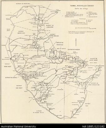 Vanuatu, Tanna, Tanna Villages, 1956Australian National University LibraryMap Vanuatu 1956 to 2017 Online
 -
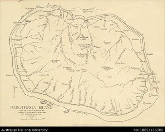 Cook Islands, Rarotonga Island, 1:31 680Australian National University LibraryMap Cook Islands Online
 -
 Vanuatu, Malakula, Ile Malekoula S.O. (South-west), 1968, 1:50 000Australian National University LibraryMap Vanuatu 1968 to 2017 Online
Results per page
Welcome and warm Pasifik greetings
The information on this site has been gathered from our content partners.
The names, terms, and labels that we present on the site may contain images or voices of deceased persons and may also reflect the bias, norms, and perspective of the period of time in which they were created. We accept that these may not be appropriate today.
If you have any concerns or questions about an item, please contact us.