Search results
Showing 9377 results
Filter by
-
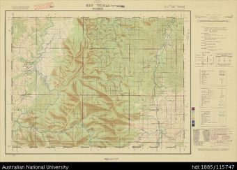
 Papua New Guinea, Southern New Guinea, Roamer, 1 Inch series, Sheet 1671, 1944, 1:63 360Australian National University LibraryMap Papua New Guinea 1944 to 2017 Online
 -
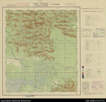 Papua New Guinea, Southern New Guinea, Sagarai River, 1 Inch series, Sheet 1754, 1945, 1:63 360Australian National University LibraryMap Papua New Guinea 1945 to 2017 Online
 -
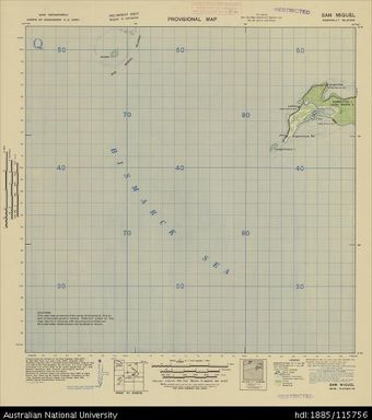 Papua New Guinea, Admiralty Islands, San Miguel, 1943, 1:63 360Australian National University LibraryMap Papua New Guinea 1943 to 2017 Online
 -
 Papua New Guinea, Equatorial New Guinea, Singorkai, 1 Inch series, Sheet 1798, 1945, 1:63 360Australian National University LibraryMap Papua New Guinea 1945 to 2017 Online
 -
 Papua New Guinea, Equatorial New Guinea, Sio, 1 Inch series, Sheet 1670, 1945, 1:63 360Australian National University LibraryMap Papua New Guinea 1945 to 2017 Online
 -
 Papua New Guinea, Northeast New Guinea, Suain West, Provisional map, Sheet A54/16, 569, 1944, 1:63 360Australian National University LibraryMap Papua New Guinea 1944 to 2017 Online
 -
 Papua New Guinea, Northeast New Guinea, Tamol West, Provisional map, Sheet B55/1, 1943, 1:63 360Australian National University LibraryMap Papua New Guinea 1943 to 2017 Online
 -
 Papua New Guinea, New Britain, The Father - overprint, Provisional map, Sheet B56/5, 596, 1943, 1:63 360Australian National University LibraryMap Papua New Guinea 1943 to 2017
 -
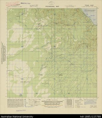 Papua New Guinea, Northeast New Guinea, Tring East, Provisional map, Sheet A54/16, 1944, 1:63 360Australian National University LibraryMap Papua New Guinea 1944 to 2017 Online
 -
 Papua New Guinea, Northeast New Guinea, Urigina - overprint, Provisional map, Sheet B55/5-6, 3656, 1943, 1:63 360Australian National University LibraryMap Papua New Guinea 1943 to 2017 Online
 -
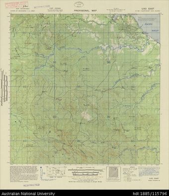 Papua New Guinea, Northeast New Guinea, Uvo East, Provisional map, Sheet B55/1, 1944, 1:63 360Australian National University LibraryMap Papua New Guinea 1944 to 2017 Online
 -
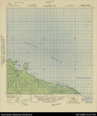 Papua New Guinea, Northeast New Guinea, Vanimo East, Provisional map, Sheet A54/11, 1457, 1944, 1:63 360Australian National University LibraryMap Papua New Guinea 1944 to 2017 Online
Results per page
Welcome and warm Pasifik greetings
The information on this site has been gathered from our content partners.
The names, terms, and labels that we present on the site may contain images or voices of deceased persons and may also reflect the bias, norms, and perspective of the period of time in which they were created. We accept that these may not be appropriate today.
If you have any concerns or questions about an item, please contact us.