Search results
Showing 9377 results
Filter by
-
 Papua New Guinea, New Guinea, Bena Bena, Aeronautical Approach Chart Series, Sheet 988 C-I-G, 1958, 1:250 000Australian National University LibraryMap Papua New Guinea 1958 to 2017 Online
 -
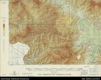
 Papua New Guinea, New Guinea, Finschhafen, Aeronautical Approach Chart Series, Sheet 988 C-II-G, 1957, 1:250 000Australian National University LibraryMap Papua New Guinea 1957 to 2017 Online
 -
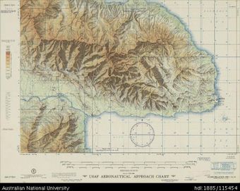
 Papua New Guinea, New Guinea, Morobe, Aeronautical Approach Chart Series, Sheet 988 C-III-G, 1957, 1:250 000Australian National University LibraryMap Papua New Guinea 1957 to 2017 Online
 -
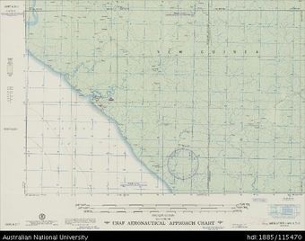
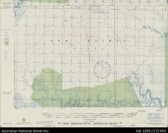 Papua New Guinea, New Guinea, Separa, Aeronautical Approach Chart Series, Sheet 988 D-IV-G, 1957, 1:250 000Australian National University LibraryMap Papua New Guinea 1957 to 2017 Online
 -
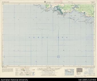 Papua New Guinea, Kalo, Series: AMS T504, Sheet SC 55-11, 1965, 1:250 000Australian National University LibraryMap Papua New Guinea 1965 to 2017 Online
 -
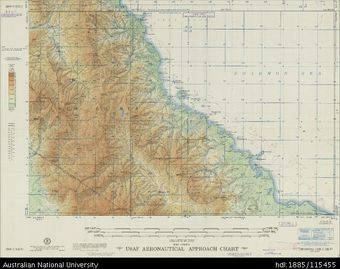
 Papua New Guinea-Indonesia, New Guinea, Merauke, Aeronautical Approach Chart Series, Sheet 1097 A-I-G, 1957, 1:250 000Australian National University LibraryMap Papua New Guinea 1957 to 2017 Online
 -
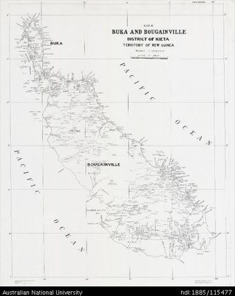 Papua New Guinea, Buka and Bougainville, 1942, 1:250 000Australian National University LibraryMap Papua New Guinea 1942 to 2017 Online
 -
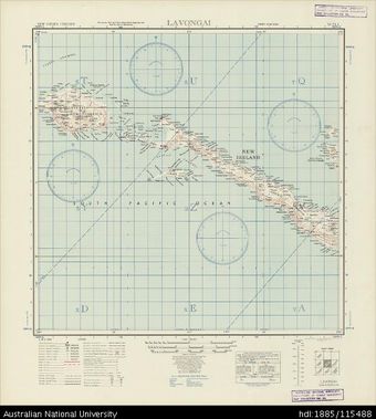 Papua New Guinea, Lavongai, Series: AMS T401, Sheet SA 56-4, 1942, 1:500 000Australian National University LibraryMap Papua New Guinea 1942 to 2017 Online
 -
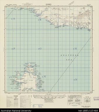 Papua New Guinea, Dobo, Series: AMS T401, Sheet SB 53-2, 1942, 1:500 000Australian National University LibraryMap Papua New Guinea 1942 to 2017 Online
 -
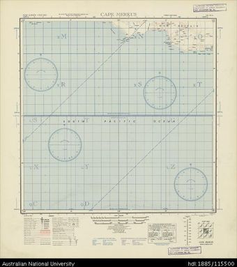 Papua New Guinea, Cape Merkus, Series: AMS T401, Sheet SB 55-6, 1942, 1:500 000Australian National University LibraryMap Papua New Guinea 1942 to 2017 Online
 -
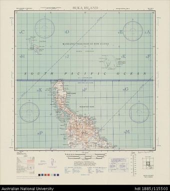 Papua New Guinea, Bougainville, Buka Island, Series: AMS T401, Sheet SB 56-3, 1944, 1:500 000Australian National University LibraryMap Papua New Guinea 1944 to 2017 Online
 -
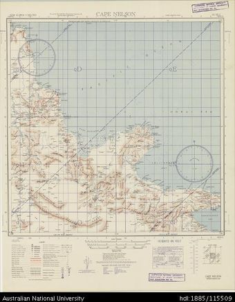 Papua New Guinea, Cape Nelson, Series: AMS T401, Sheet SC 55-3, 1943, 1:500 000Australian National University LibraryMap Papua New Guinea 1943 to 2017 Online
Results per page
Welcome and warm Pasifik greetings
The information on this site has been gathered from our content partners.
The names, terms, and labels that we present on the site may contain images or voices of deceased persons and may also reflect the bias, norms, and perspective of the period of time in which they were created. We accept that these may not be appropriate today.
If you have any concerns or questions about an item, please contact us.