Search results
Showing 9377 results
Filter by
-
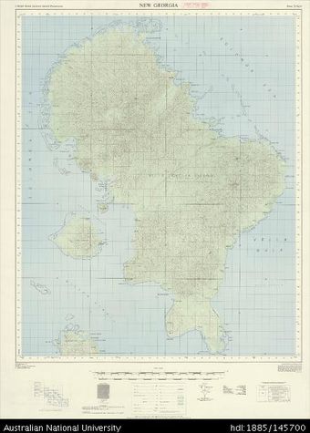
 Solomon Islands, British Solomon Islands Protectorate, New Georgia, Series: X711, Sheet 7-156-11, 1967, 1:50 000Australian National University LibraryMap 1967 to 2019 Online
 -
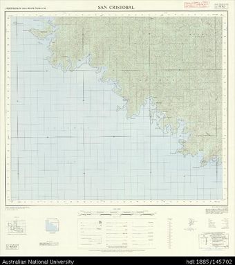 Solomon Islands, British Solomon Islands Protectorate, San Cristobal, Series: X711, Sheet 10-161-11, 1972, 1:50 000Australian National University LibraryMap 1972 to 2019 Online
 -
 Solomon Islands, British Solomon Islands Protectorate, Shortland Islands, Series: X711, Sheet 6-155-15, 1967, 1:50 000Australian National University LibraryMap Papua New Guinea 1967 to 2019 Online
 -
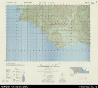 Solomon Islands, Guadalcanal Island, Cape Hunter, Series: X713, Sheet 7728 I, 1960, 1:50 000Australian National University LibraryMap 1960 to 2019 Online
 -
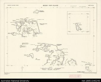 Solomon Islands, Florida Group, Buena Vista Island, Series: D.O.S. Repro 2 (Sketch), Sheet 20, 1968, 1:50 000Australian National University LibraryMap 1968 to 2019 Online
 -
 Solomon Islands, Nggela Islands, Utuha Passage, Series: X713, Sheet 7831 III, 1959-1960, 1:50 000Australian National University LibraryMap 1959 to 2018 Online
 -
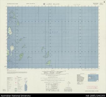 Solomon Islands, Russell Islands, Lamon Island, Series: X713, Sheet 7630 I, 1959, 1:50 000Australian National University LibraryMap 1959 to 2019 Online
 -
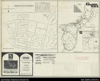 Mariana Islands, Guam, 1971, 1:170 000Australian National University LibraryMap Guam 1971 to 2018
 -
 Mariana Islands, Series: AMS W541, Sheet 3, 1943, 1:250 000Australian National University LibraryMap Mariana Islands 1943 to 2019
 -
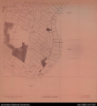 Tonga, Tongatapu, Sheet 4C, 1:15 840, 1959-1960Australian National University LibraryMap Tonga 1959 to 2018
 -
 Solomon Islands, Santa Ysabel, Sheet: 583 Central, 1950, 1:120 000Australian National University LibraryMap 1950 to 2018 Online
 -
 Solomon Islands, New Georgia & Adjacent Islands, Sheet: 581 West, 1949, 1:120 000Australian National University LibraryMap 1949 to 2018 Online
Results per page
Welcome and warm Pasifik greetings
The information on this site has been gathered from our content partners.
The names, terms, and labels that we present on the site may contain images or voices of deceased persons and may also reflect the bias, norms, and perspective of the period of time in which they were created. We accept that these may not be appropriate today.
If you have any concerns or questions about an item, please contact us.