Search results
Showing 9377 results
Filter by
-
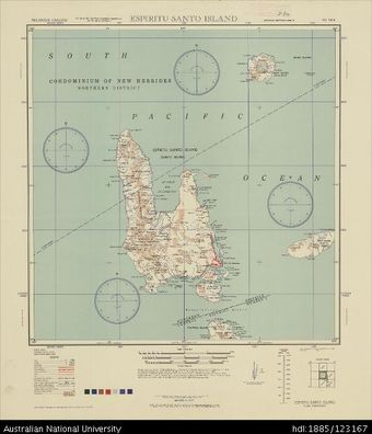
 Vanuatu, Espiritu Santo Island, Series: AMS X401, Sheet SD 58-6, 1944, 1:500 000Australian National University LibraryMap Vanuatu 1944 to 2017 Online
 -
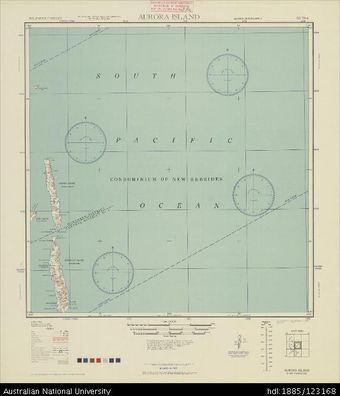 Vanuatu, Aurora Island, Series: AMS X401, Sheet SD 59-4, 1944, 1:500 000Australian National University LibraryMap Vanuatu 1944 to 2017 Online
 -
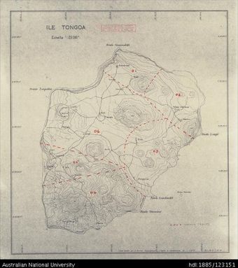 Vanuatu, Tongoa, Ile Tongoa, 1964, 1:20 000Australian National University LibraryMap Vanuatu 1964 to 2017 Online
 -
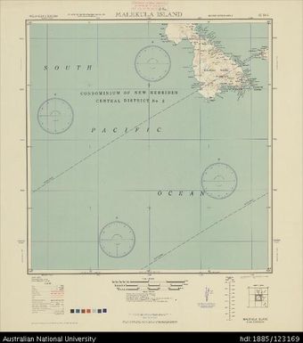 Vanuatu, Malekula Island, Series: AMS X401, Sheet SE 58-3, 1944, 1:500 000Australian National University LibraryMap Vanuatu 1944 to 2017 Online
 -
 Vanuatu, Espiritu Santo, Santo-Sud (South), Sheet 1Australian National University LibraryMap Vanuatu Online
 -
 Vanuatu, Aneityum, 1:72 600Australian National University LibraryMap Vanuatu Online
 -
 Vanuatu, Efate, Carte Cadastrale de I'Ile Vate, 1:63 360Australian National University LibraryMap Vanuatu Online
 -
 Vanuatu, Efate, Vila - Sud (South)Australian National University LibraryMap Vanuatu Online
 -
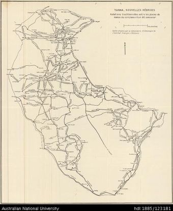 Vanuatu, Tanna, Tanna Dancing Grounds, 1956Australian National University LibraryMap Vanuatu 1956 to 2017 Online
 -
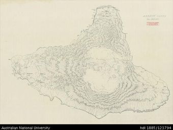 Vanuatu, Ambrym, Ambrym Island, 1:50 000Australian National University LibraryMap Vanuatu Online
 -
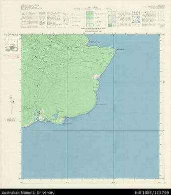 Vanuatu, Efate, Ile Efate S.E. (South-east), Sheet SE, 1960, 1:50 000Australian National University LibraryMap Vanuatu 1960 to 2017 Online
 -
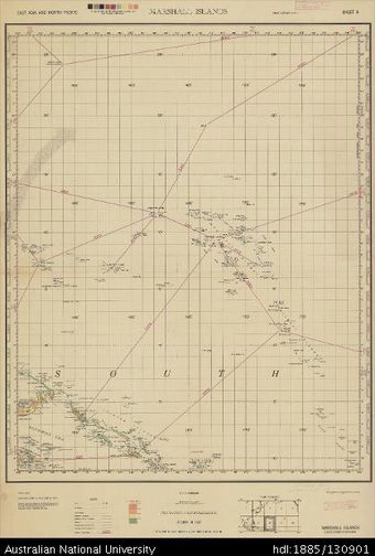 East Asia and North Pacific, Republic of the Marshall Islands, Marshall Islands, Series: 1201, Sheet 8, 1945, 1:4 350 000Australian National University LibraryMap Marshall Islands 1945 to 2017 Online
Results per page
Welcome and warm Pasifik greetings
The information on this site has been gathered from our content partners.
The names, terms, and labels that we present on the site may contain images or voices of deceased persons and may also reflect the bias, norms, and perspective of the period of time in which they were created. We accept that these may not be appropriate today.
If you have any concerns or questions about an item, please contact us.