Search results
Showing 9377 results
Filter by
-

 New Caledonia, Moindou, Sheet SF-58-X-4a, 1:50 000Australian National University LibraryMap New Caledonia 1956 to 2017 Online
 -
 Indonesia, Western New Guinea, Kabtel, Series: Nederlands-Nieuw-Guinea, Sheet 28-X, 1956, 1:100 000Australian National University LibraryMap 1956 to 2016 Online
 -
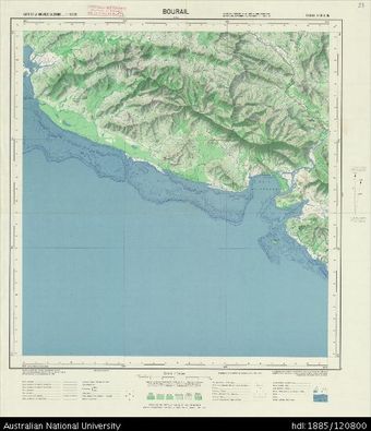 New Caledonia, Bourail, Sheet SF-58-X-3b, 1:50 000Australian National University LibraryMap New Caledonia 1956 to 2017 Online
 -
 Indonesia, Western New Guinea, Kowa, Series: Nederlands-Nieuw-Guinea, Sheet 28-Y, 1955, 1:100 000Australian National University LibraryMap 1955 to 2016 Online
 -
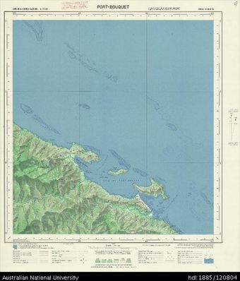 New Caledonia, Port-Bouquet, Sheet SF-58-XI-3b, 1:50 000Australian National University LibraryMap New Caledonia 1956 to 2017 Online
 -
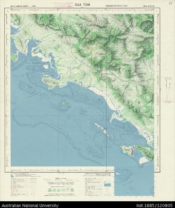 New Caledonia, Oua Tom, Sheet SF-58-X-4d, 1:50 000Australian National University LibraryMap New Caledonia 1956 to 2017 Online
 -
 Indonesia, Western New Guinea, Jera, Series: Nederlands-Nieuw-Guinea, Sheet 27-T, 1955, 1:100 000Australian National University LibraryMap 1955 to 2016 Online
 -
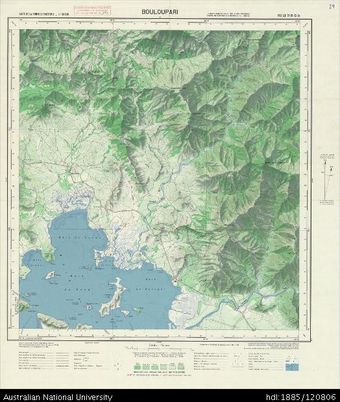 New Caledonia, Bouloupari, Sheet SF-58-XI-3c, 1:50 000Australian National University LibraryMap New Caledonia 1956 to 2017 Online
 -
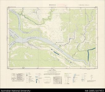 Indonesia, Western New Guinea, Rogoigai, Series: Nederlands-Nieuw-Guinea, Sheet 25-V, 1956, 1:100 000Australian National University LibraryMap 1956 to 2016 Online
 -
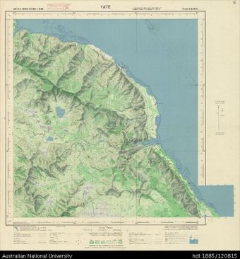 New Caledonia, Yate, Sheet SF-58-XVII-2b, 1:50 000Australian National University LibraryMap New Caledonia 1956 to 2017 Online
 -
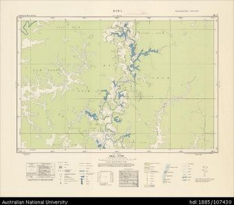
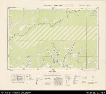 Indonesia, Western New Guinea, Koningin Juliana Rivier, Series: Nederlands-Nieuw-Guinea, Sheet 24-V, 1956, 1:100 000Australian National University LibraryMap 1956 to 2016 Online
 -
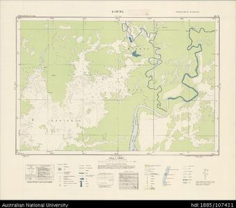
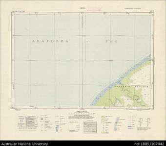
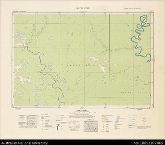 Indonesia, Western New Guinea, Mappi Meer, Series: Nederlands-Nieuw-Guinea, Sheet 22-X, 1956, 1:100 000Australian National University LibraryMap 1956 to 2016 Online
Results per page
Welcome and warm Pasifik greetings
The information on this site has been gathered from our content partners.
The names, terms, and labels that we present on the site may contain images or voices of deceased persons and may also reflect the bias, norms, and perspective of the period of time in which they were created. We accept that these may not be appropriate today.
If you have any concerns or questions about an item, please contact us.