Search results
Showing 9377 results
Filter by
-
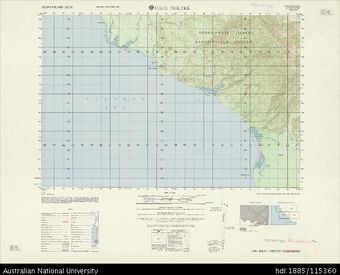
 Papua New Guinea, Bougainville, Cape Moltke, Series: AMS X713, Sheet 6739 I, 1966, 1:50 000Australian National University LibraryMap Papua New Guinea 1966 to 2017 Online
 -
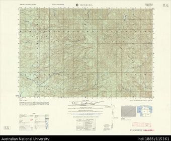 Papua New Guinea, Bougainville, Sepekura, Series: AMS X713, Sheet 6740 I, 1966, 1:50 000Australian National University LibraryMap Papua New Guinea 1966 to 2017 Online
 -
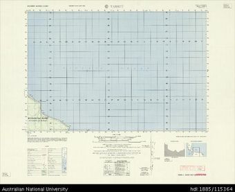 Papua New Guinea, Bougainville, Tarbut, Series: AMS X713, Sheet 6741 I, 1966, 1:50 000Australian National University LibraryMap Papua New Guinea 1966 to 2017 Online
 -
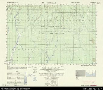 Papua New Guinea, Bougainville, Nakarae, Series: AMS X713, Sheet 6937 IV, 1966, 1:50 000Australian National University LibraryMap Papua New Guinea 1966 to 2017 Online
 -
 Papua New Guinea, Bougainville, Mt Takuam, Series: AMS X713, Sheet 6938 IV, 1966, 1:50 000Australian National University LibraryMap Papua New Guinea 1966 to 2017 Online
 -
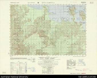 Papua New Guinea, Bougainville, Kieta Peninsula, Series: AMS X713, Sheet 6939 III, 1966, 1:50 000Australian National University LibraryMap Papua New Guinea 1966 to 2017 Online
 -
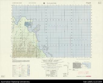 Papua New Guinea, Bougainville, Watakotsir, Series: AMS X713, Sheet 6841 III, 1966, 1:50 000Australian National University LibraryMap Papua New Guinea 1966 to 2017 Online
 -
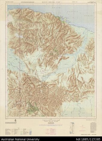 Papua New Guinea, Border (Special), Sheet 1, 1966, 1:100 000Australian National University LibraryMap Papua New Guinea 1966 to 2017 Online
 -
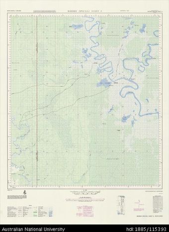 Papua New Guinea, Border (Special), Sheet 8, 1966, 1:100 000Australian National University LibraryMap Papua New Guinea 1966 to 2017 Online
 -
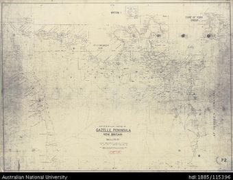 Papua New Guinea, New Britain, Northern Portion of Gazelle Peninsula, Sheet F2, 1948, 1:100 000Australian National University LibraryMap Papua New Guinea 1948 to 2017 Online
 -
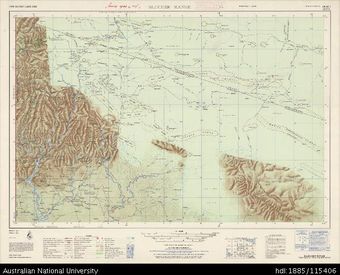 Papua New Guinea, Blucher Range, Series: AMS T504, Sheet SB 54-7, 1966, 1:250 000Australian National University LibraryMap Papua New Guinea 1966 to 2017 Online
 -
 Papua New Guinea, Sepik, Series: AMS T504, Sheet SA 55-13, 1966, 1:250 000Australian National University LibraryMap Papua New Guinea 1966 to 2017 Online
Results per page
Welcome and warm Pasifik greetings
The information on this site has been gathered from our content partners.
The names, terms, and labels that we present on the site may contain images or voices of deceased persons and may also reflect the bias, norms, and perspective of the period of time in which they were created. We accept that these may not be appropriate today.
If you have any concerns or questions about an item, please contact us.