Search results
Showing 9377 results
Filter by
-
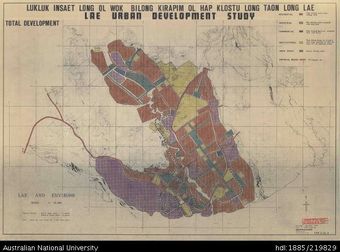
 Papua New Guinea, Lae Urban Development Study, 1:25 000, 1970Australian National University LibraryMap Papua New Guinea 1970 to 2021 Online
 -
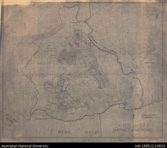
 Papua New Guinea, Milinch of Mendi NE Fourmil of Kutubu, Survey Index 29, 1:50 000Australian National University LibraryMap Papua New Guinea Online
 -
 Papua New Guinea, Town of Lae, 1:7 920, 1958Australian National University LibraryMap Papua New Guinea 1958 to 2021 Online
 -
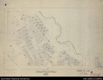 Papua New Guinea, Town of Lae, Sheet 4, 1:4 000, 1970Australian National University LibraryMap Papua New Guinea 1970 to 2021 Online
 -
 Papua New Guinea, Kerowagi, 1:2 500Australian National University LibraryMap Papua New Guinea Online
 -
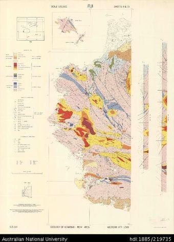 Fiji, Viti Levu, Geology of Lomawai - Momi Area, GS 215, Sheet 9 & 15, 1:50 000Australian National University LibraryMap Fiji 1959 to 2021 Online
 -
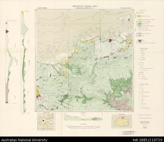 Fiji, Viti Levu, Geology of Vaileka Area, GS 355, Sheet 2, 1:50 000, 1964Australian National University LibraryMap Fiji 1964 to 2021 Online
 -
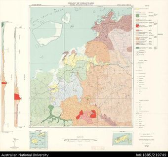 Fiji, Vanua Levu, Geology of Ndreketi Area, GS 470, Sheet 4, 1:50 000, 1973Australian National University LibraryMap Fiji 1973 to 2021 Online
 -
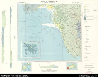 Fiji, Vanua Levu, Geology of Nambouwalu Area, GS 441, Sheet 9, 1:50 000, 1968Australian National University LibraryMap Fiji 1968 to 2021 Online
 -
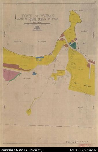 Papua New Guinea, Town of Wewak, Sheet 4, 1:4 000, 1968Australian National University LibraryMap Papua New Guinea 1968 to 2021 Online
 -
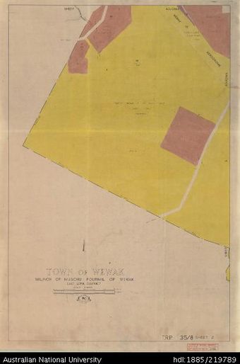 Papua New Guinea, Town of Wewak, Sheet 2, 1:4 000, 1969Australian National University LibraryMap Papua New Guinea 1969 to 2021 Online
 -
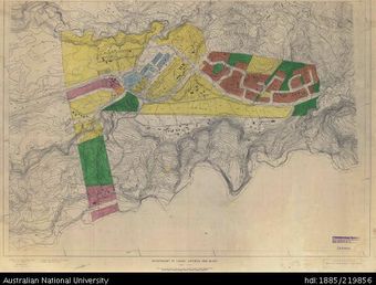
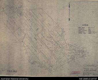 Papua New Guinea, Proposed Zoning Plan Wapenamanda, 1966Australian National University LibraryMap Papua New Guinea 1966 to 2021 Online
Results per page
Welcome and warm Pasifik greetings
The information on this site has been gathered from our content partners.
The names, terms, and labels that we present on the site may contain images or voices of deceased persons and may also reflect the bias, norms, and perspective of the period of time in which they were created. We accept that these may not be appropriate today.
If you have any concerns or questions about an item, please contact us.