Search results
Showing 9377 results
Filter by
-
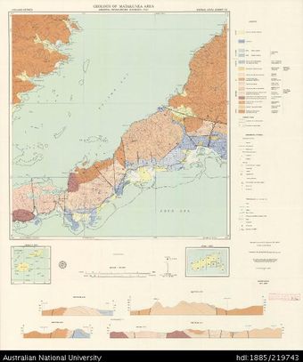
 Fiji, Vanua Levu, Geology of Matakunea Area, GS 496, Sheet 13, 1:50 000, 1977Australian National University LibraryMap Fiji 1977 to 2021 Online
 -
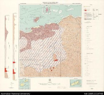 Fiji, Vanua Levu, Geology of Nanduri Area, GS 471, Sheet 5, 1:50 000, 1974Australian National University LibraryMap Fiji 1974 to 2021 Online
 -
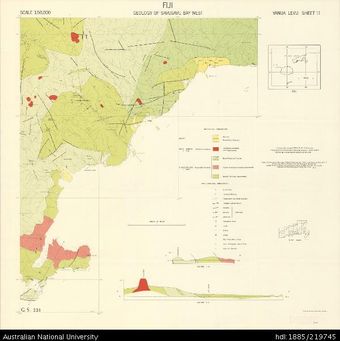 Fiji, Vanua Levu, Geology of Savusavu Bay West Area, GS 223, Sheet 11, 1959, 1:50 000Australian National University LibraryMap Fiji 1959 to 2021 Online
 -
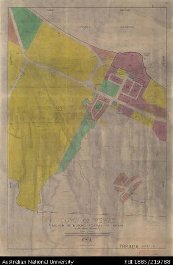 Papua New Guinea, Town of Wewak, Sheet 3, 1:4 000, 1968Australian National University LibraryMap Papua New Guinea 1968 to 2021 Online
 -
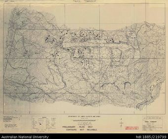 Papua New Guinea, Tapini Township, 1:2 500, 1970Australian National University LibraryMap Papua New Guinea 1970 to 2021 Online
 -
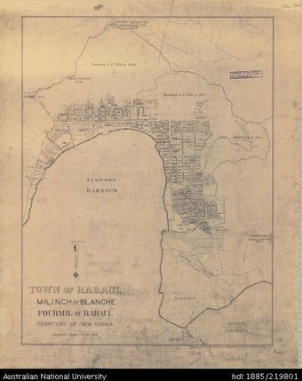 Papua New Guinea, Town of Rabaul, 1:7 920, 1959Australian National University LibraryMap Papua New Guinea 1959 to 2021 Online
 -
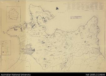 Papua New Guinea, Plantations - East New Britain, 1:37 500Australian National University LibraryMap Papua New Guinea Online
 -
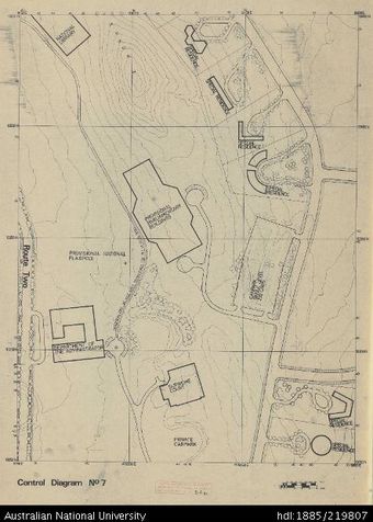 Papua New Guinea, Port Moresby, Control Diagram No 7, 1:400Australian National University LibraryMap Papua New Guinea Online
 -
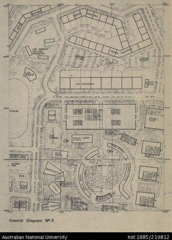 Papua New Guinea, Port Moresby, Control Diagram No 3, 1:400Australian National University LibraryMap Papua New Guinea Online
 -
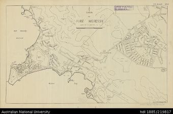 Papua New Guinea, Town of Port Moresby, 1959Australian National University LibraryMap Papua New Guinea 1959 to 2021 Online
 -
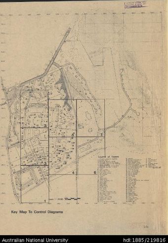 Papua New Guinea, Port Moresby, INDEX to Control Diagrams, 1:2 500Australian National University LibraryMap Papua New Guinea Online
 -
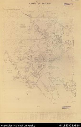 Papua New Guinea, Hamil of Bomana, 1963Australian National University LibraryMap Papua New Guinea 1963 to 2021 Online
Results per page
Welcome and warm Pasifik greetings
The information on this site has been gathered from our content partners.
The names, terms, and labels that we present on the site may contain images or voices of deceased persons and may also reflect the bias, norms, and perspective of the period of time in which they were created. We accept that these may not be appropriate today.
If you have any concerns or questions about an item, please contact us.