Search results
Showing 9377 results
Filter by
-
 Papua New Guinea, Map of New Ireland Showing European and Asiatic Plantations, 1955, 1:253 440Australian National University LibraryMap Papua New Guinea 1955 to 2020 Online
 -
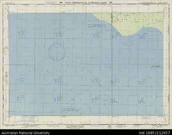 Papua New Guinea, New Guinea, Bulla, Aeronautical Aproach Chart Series, Sheet 1097 A-IV-G, 1955, 1:250 000Australian National University LibraryMap Papua New Guinea 1955 to 2020 Online
 -
 Papua New Guinea, East Sepik Province, Maprik census Divisions, 1960, 1:253 440Australian National University LibraryMap Papua New Guinea 1960 to 2020 Online
 -
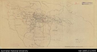
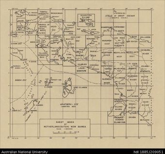 Indonesia, Dutch New Guinea, Bloemen-Rivier, Provisional, 1943, 1:250 000 (reverse)Australian National University LibraryMap 1939 to 2020 Online
 -
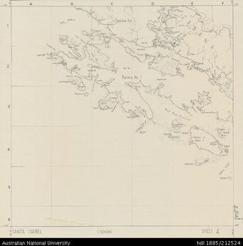 Solomon Islands, Sketch Map of Santa Isabel, Sheet 4, 1968, 1:50 000Australian National University LibraryMap 1968 to 2020 Online
 -
 Solomon Islands, Sketch Map of Santa Isabel, Sheet 13, 1968, 1:50 000Australian National University LibraryMap 1968 to 2020 Online
 -
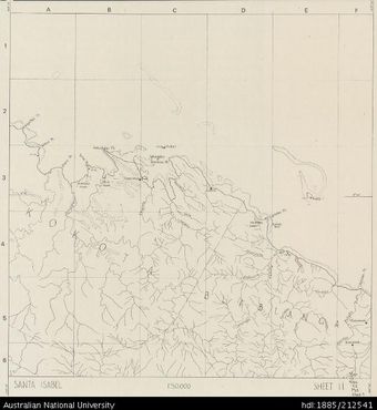 Solomon Islands, Sketch Map of Santa Isabel, Sheet 11, 1968, 1:50 000Australian National University LibraryMap 1968 to 2020 Online
 -
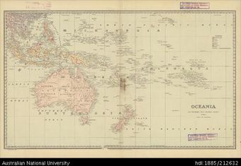 Oceania, Historic Atlas, 1888Australian National University LibraryMap Oceania 1888 to 2020 Online
 -
 PNG, Morobe-Gulf Districts, Wau_overprint 1966, T504, Sheet 1097A-IV-G, 1966, 1:250 000Australian National University LibraryMap Papua New Guinea 1966 to 2020 Online
 -
 Papua New Guinea, New Ireland District, 1955, 1:506 880Australian National University LibraryMap Papua New Guinea 1955 to 2020
 -
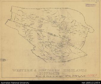 Papua New Guinea, Western & Southern Highlands Districts, 1955, 1:506 880Australian National University LibraryMap Papua New Guinea 1955 to 2020
 -
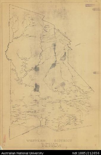 Papua New Guinea, Western District, 1955, 1:506 880Australian National University LibraryMap Papua New Guinea 1955 to 2020
Results per page
Welcome and warm Pasifik greetings
The information on this site has been gathered from our content partners.
The names, terms, and labels that we present on the site may contain images or voices of deceased persons and may also reflect the bias, norms, and perspective of the period of time in which they were created. We accept that these may not be appropriate today.
If you have any concerns or questions about an item, please contact us.