Explore items from Melanesia
Explore and reconnect with items and images from Melanesia.
Showing 206107 items from Melanesia
Filter by
-

 TOL PLANTATION, NEW BRITAIN, 1945-08-02. STAFF OF THE ADVANCED ORDNANCE DEPOT, 13 INFANTRY BRIGADE, OUTSIDE HUTS IN A GARDEN SETTINGAustralian War MemorialImage Papua New Guinea Online
 -
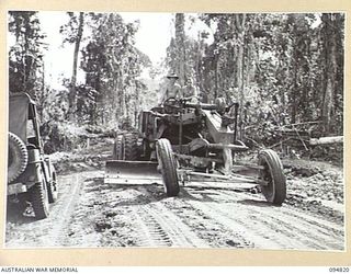 BULUS RIVER AREA, NEW BRITAIN, 1945-08-02. AN "AUTOPATROL" POWER GRADER OPERATED BY 55 FIELD PARK COMPANY, ROYAL AUSTRALIAN ENGINEERS, WORKING ON THE ROAD BETWEEN THE BULUS AND MOONDEI RIVERSAustralian War MemorialImage Papua New Guinea Online
 -
 TOL, NEW BRITAIN, 1945-08-04. SERGEANT A.H. SKIPWORTH, 52 TRANSPORT PLATOON READING A LETTER FROM HOMEAustralian War MemorialImage Papua New Guinea Online
 -
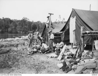 JACQUINOT BAY, NEW BRITAIN, 1945-08-08. TROOPS OF 41 LANDING CRAFT COMPANY PACKING GEAR BEFORE EMBARKING FOR BORNEO BY LANDING SHIP, TANK (LST). THEIR BARGES WERE LEFT BEHIND AT JACQUINOT FOR USE ..Australian War MemorialImage Papua New Guinea Online
 -
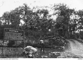 JACQUINOT BAY, NEW BRITAIN, 1945-08-08. TROOPS OF 41 LANDING CRAFT COMPANY BURNING RUBBISH AND BREAKING UP CAMP BEFORE LEAVING FOR BORNEOAustralian War MemorialImage Papua New Guinea Online
 -
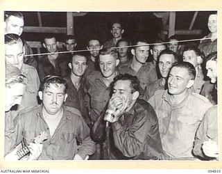 JACQUINOT BAY, NEW BRITAIN, 1945-08-07. A TRIO USING A UKELELE, AN IMITATION TRUMPHET AND HOME MADE TOM-TOMS PERFORMING FOR A RADIO BROADCAST FROM THE AMENITIES HUT, HEADQUARTERS 11 DIVISIONAustralian War MemorialImage Papua New Guinea Online
 -
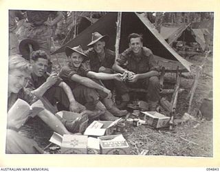 ILIPEM, NEW GUINEA, 1945-07-31. MEMBERS OF 11 PLATOON, B COMPANY, 2/5 INFANTRY BATTALION, ENJOYING THE BENEFITS OF THEIR NEWLY ARRIVED MID-YEAR AUSTRALIAN COMFORTS FUND HAMPERSAustralian War MemorialImage Papua New Guinea Online
 -
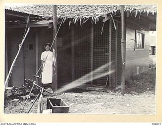 LAE AREA, NEW GUINEA. 1945-08-11. CORPORAL A. WILLIAMS, OUTSIDE AN AIR CONDITIONED WARD OF 2/7 GENERAL HOSPITALAustralian War MemorialImage Papua New Guinea Online
 -
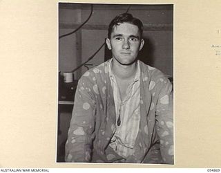 LAE AREA, NEW GUINEA. 1945-08-11. LIEUTENANT G.M. DOWNING WEARING AN ARTIFICIAL EYE WHICH WAS FITTED AT 2/7 GENERAL HOSPITALAustralian War MemorialImage Papua New Guinea Online
 -
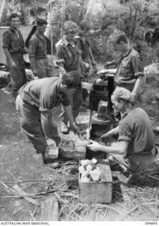 ILIPEM, NEW GUINEA, 1945-07-31. TROOPS OF 10 PLATOON, 2/5 INFANTRY BATTALION, ATTENDING A MESS PARADE AT A KITCHEN IN A FORWARD AREA. ALL FOOD IS DROPPED BY KAI BOMBERS AND OFTEN PREPARED WITH THE ..Australian War MemorialImage Papua New Guinea Online
 -
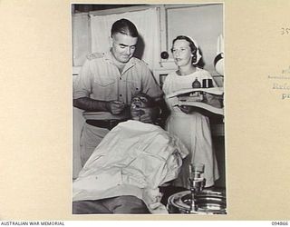 LAE AREA, NEW GUINEA. 1945-08-11. MAJOR B.J. MAHON, DENTAL OFFICER (1), ASSISTED BY PRIVATE E.C. REILLY, DENTAL ORDERLY (3), GIVING TREATMENT TO E. SMITH (2), AT 2/7 GENERAL HOSPITALAustralian War MemorialImage Papua New Guinea Online
 -
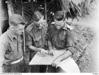 YAMIL 2, NEW GUINEA. 1945-08-01. LIEUTENANT COLONEL F.G. WOOD, COMMANDING OFFICER, 2/6 INFANTRY BATTALION (2), DISCUSSING OPERATIONS AND MOVEMENTS ON THE MAP WITH CAPTAIN J.C. WALKER, ADJUTANT (1) ..Australian War MemorialImage Papua New Guinea Online
Results per page
Welcome and warm Pasifik greetings
The information on this site has been gathered from our content partners.
The names, terms, and labels that we present on the site may contain images or voices of deceased persons and may also reflect the bias, norms, and perspective of the period of time in which they were created. We accept that these may not be appropriate today.
If you have any concerns or questions about an item, please contact us.