Mālō e lelei!
Mou me’a mai ‘o mamata mo manatua ‘ae ngaahi koloa moe ngaahi ‘ata meihe Kingdom of Tonga.
Showing 22858 items from Tonga
Filter by
-
 Thus appears the island Middleburgh abt 6 or 7 miles off shore : Isld Amsterdam ; Island Middleburgh when at anchor here / Peter Fannin delinNational Library of AustraliaMap Tonga
-
Map of the Kingdom of Tonga : showing the territorial boundaries / compiled and drawn at the Lands & Survey Department, Nuku'alofa, Tonga. August 1969, under the authority of the Hon. S.A.L. Tuita, Minister of LandsNational Library of AustraliaMap Tonga Online
-
Tonga / compiled and drawn by Directorate of Overseas SurveysState Library of NSWMap Tonga
-
Sketch of Tongataboo HarbourNational Library of AustraliaMap Tonga Online
-
Chart of the Friendly IslandsNational Library of AustraliaMap Tonga Online
-
Chart of the Friendly IslesNational Library of AustraliaMap Tonga
-
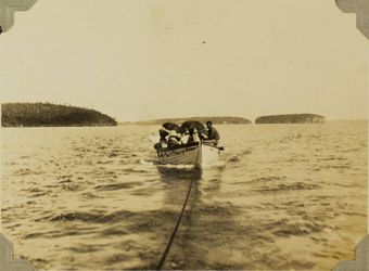
 Boat en route to Swallows Cave, Kapa Island, 1928Auckland LibrariesImage Tonga
-
 Flying foxes (fruit bats) in trees at Hihifo, TongaAuckland LibrariesImage Tonga
-
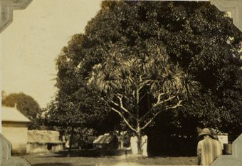 Two Tongan girls standing beneath a screw palm?, 1928Auckland LibrariesImage Tonga
-
 Members of the Free Church of Tonga, 1928Auckland LibrariesImage Tonga
-
 Storage of yams and kava roots, TongaAuckland LibrariesImage Tonga
-
 Niuafo'ou, or Tin Can island postal delivery, 1928Auckland LibrariesImage Tonga
Results per page
Tonga
Welcome and warm Pasifik greetings
The information on this site has been gathered from our content partners.
The names, terms, and labels that we present on the site may contain images or voices of deceased persons and may also reflect the bias, norms, and perspective of the period of time in which they were created. We accept that these may not be appropriate today.
If you have any concerns or questions about an item, please contact us.