Mālō nī!
Hakilikili ma toe kikila ki na koa ma na ata o Tokelau.
Showing 2479 items from Tokelau
Filter by
-

 Tagata o te Moana. 2008-10-11. 17:30-18:00.Ngā Taonga Sound & VisionAudio Fiji Kiribati Tokelau Vanuatu Not online
 -
Tagata o te Moana. 2009-09-19Ngā Taonga Sound & VisionAudio Cook Islands Papua New Guinea Solomon Islands Tokelau Tonga Vanuatu Not online
-
Music of the Māori: Royal Polynesian Festival 1977Ngā Taonga Sound & VisionAudio Niue Tokelau Not online
-
Tagata o te Moana. 2008-02-16, 17:30-18:00.Ngā Taonga Sound & VisionAudio Fiji Marshall Islands Tokelau Not online
-
 An assessment of the skipjack and baitfish resources of Tokelau.National Library of AustraliaText Tokelau
 -
 Tokelauans: Facts and figuresManatū Taonga, the Ministry for Culture and HeritageText Tokelau
 -
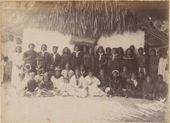
 Atafu atoll, 1886Auckland LibrariesImage Tokelau
 -
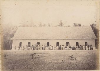 Church, Atafu, 1886Auckland LibrariesImage Tokelau
 -
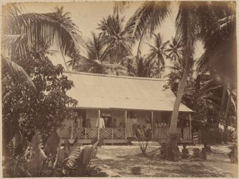
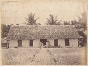 Mission House, Atafu, 1886Auckland LibrariesImage Tokelau
 -
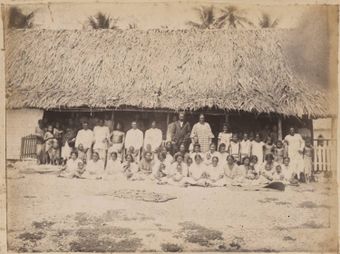 Fakaafo, 1886Auckland LibrariesImage Tokelau
 -
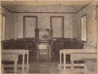 Church interior, Swains Island, 1886Auckland LibrariesImage American Samoa Tokelau
 -
 Trader's House, Fakaafo, 1886Auckland LibrariesImage Tokelau
Results per page
Tokelau
Welcome and warm Pasifik greetings
The information on this site has been gathered from our content partners.
The names, terms, and labels that we present on the site may contain images or voices of deceased persons and may also reflect the bias, norms, and perspective of the period of time in which they were created. We accept that these may not be appropriate today.
If you have any concerns or questions about an item, please contact us.