Talofa lava!
Ia fa'alautele ma toe so'ofau ma measina ma ata fa'aatisi mai Amerika Samoa.
Showing 12491 items from American Samoa
Filter by
-

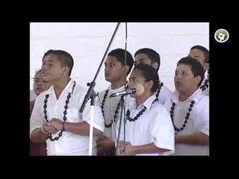
 KVZK TV Live Stream CH2KVKZ TV American SamoaVideo American Samoa
 -
 KVZK TV Live Stream CH2KVKZ TV American SamoaVideo American Samoa
 -
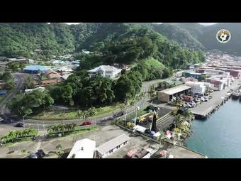
 KVZK TV Live Stream CH2KVKZ TV American SamoaVideo American Samoa
 -
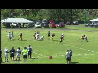
 KVZK TV Live Stream CH2KVKZ TV American SamoaVideo American Samoa
 -
 KVZK TV LiveStream EventKVKZ TV American SamoaVideo American Samoa
 -
 KVZK TV LiveStream EventKVKZ TV American SamoaVideo American Samoa
 -
 KVZK TV Live Stream CH2KVKZ TV American SamoaVideo American Samoa
 -
 KVZK TV Live EventKVKZ TV American SamoaVideo American Samoa
 -
 KVZK TV LiveStream EventKVKZ TV American SamoaVideo American Samoa
 -
 KVZK TV LiveStream EventKVKZ TV American SamoaVideo American Samoa
 -
 KVZK TV Live EventKVKZ TV American SamoaVideo American Samoa
 -
 KVZK TV Live Stream CH2KVKZ TV American SamoaVideo American Samoa
Results per page
American Samoa
Welcome and warm Pasifik greetings
The information on this site has been gathered from our content partners.
The names, terms, and labels that we present on the site may contain images or voices of deceased persons and may also reflect the bias, norms, and perspective of the period of time in which they were created. We accept that these may not be appropriate today.
If you have any concerns or questions about an item, please contact us.